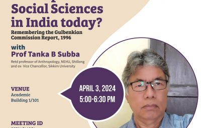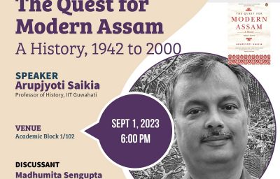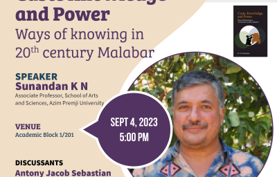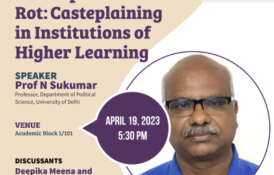
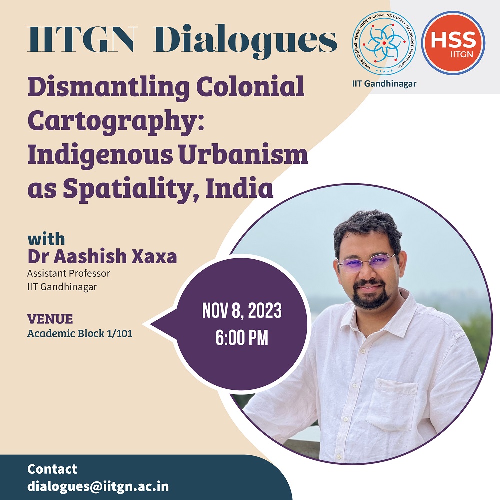
Title: Dismantling Colonial Cartography: Indigenous Urbanism as Spatiality, India
Speaker: Dr. Aashish Xaxa
Date: 8th November 2023
Time: 6 – 7:30 PM
Venue: AB 1/ 101
Abstract: Cartography in India, beginning with The Great Trigonometric Survey’s civilisational project, was used by the colonial and postcolonial states to survey and earmark territories for various kinds of resources. This resource knowledge was critical in establishing colonial authority over indigenous lands. These cartographic projects became an instrument to guide the growth and expansion of roads and railways, timber felling, metallurgical industries, mines and townships. Drawing on field experiences in Jharkhand and Meghalaya, two tribal/indigenous states, the author highlights in this chapter how tribes classify the territories and lands they inhabit and how specific historic relationships are built between indigenous peoples and territories through customs, traditions, myths and values that have sustained land and resources over time. It is thereby imperative that land control be returned to the indigenous communities who have a more holistic understanding of it, rather than keeping it in the vestige of the state, for a holistic and sustainable urban development. Through this process, indigenous communities can bring their traditional knowledge of distinct land ownership patterns and environmental mindfulness, guiding the process of making cities and future human settlements inclusive, resilient and sustainable.
Related Seminars